Chillax'n here checking in with y'all as we embark on another adventure...destination mile marker zero via The Florida Keys Overseas Scenic Highway aka Highway 1!
So kick off your shoes,
put on lots of sunscreen and grab a cold one because we are about to hang our
shingle at the Southernmost K.O.A in North America, Sugarloaf Key, Florida; which
is about 15 miles north of Key West. I think we'll get a shingle made that says "Home is where we park it" soon, ha ha!
Every
Key island is connected by a channel bridge or causeway,
and for each bridge
you can usually find bridges for pedestrians as
well.
These allow people to
fish from them, and as the sign below indicates there are many types of fish that can be
caught in the Keys.
...and they weren’t kidding
either when they said you could catch a shark! This young man hooked this nurse
shark one night off the boat launch at the KOA. Sorry the photo is a bit grainy, we didn't have the camera with us when we were out walking Toby that night so we used our phone camera.
There is never a dull
moment in our KOA, be on your guard for one of these colourful fellas swimming
beside you in the pool or lurking in a palm tree above your chair!
Of course we would be
remiss not to share a photo of Wee Shaemus enjoying a cold one on the lovely
beach that’s on site as well.
Ever see a Pelican
tree before? Well now you have….yup we had one of those too, ha ha! There could
be as many as 20 at one time in this particular tree.
There are a few State
Parks that we could have stayed in whilst in the Keys, albeit if we were here
later in the year that is. Unfortunately they were all sold out; Bahia Honda
State Park in particular was booked up until June. It would have been cool to
stay there because you actually set up house right on the beach.
Here are a few pictures from our day trip there...
The picture below are the remains of Henry
Flagler’s Overseas Railway bridges. The Railway was once called “the Eighth Wonder of the World.” Life throughout the Keys changed forever when trains started running from Miami to Key West in 1912. Hurricanes in 1906, 1909, and 1910 hindered its construction, and ultimately destroyed it in 1935. You think the first three might have been a clue don't ya think?
For us, it will forever be remembered as the Cuban Interstate,
bwahahahahaha!
Getting to know your
way around the Keys begins with understanding the unique way distances are
designated on the Florida Keys Overseas Highway. Most if not all the Keys’
residents continually refer to mile markers (MM) when giving you directions
because the highway is dotted with them starting at mile marker 126 just south
of Florida City, and of course ultimately ending at mile marker zero (0). Not
to worry though if you get lost, none of the Keys’ islands are more than a few
miles wide, so you won’t have much trouble finding the highway again.
Mile marker zero, at
the junction of Fleming and Whitehead streets, marks the southern tip of
U.S. Highway 1, a
full 2,390 miles from its northern terminus in Fort Kent, Maine; which is
somewhere near the Canadian Border I think. It also represents the end of the
line, or the furthest south you can get from the lower 48 continental states,
and still be in the U.SA. That makes it way cooler than all those other miles
markers out there now doesn’t it?
Some pictures from in
and around Key West….first please pardon the below "drive-by" photo - too many tourists waiting to take their pictures standing by the "southernmost point buoy. You are apparently 90 miles from Cuba from this point and the southernmost point in the Continental U.S.A. when you stand in this spot.
Nice wheels Barnacle
Bill!
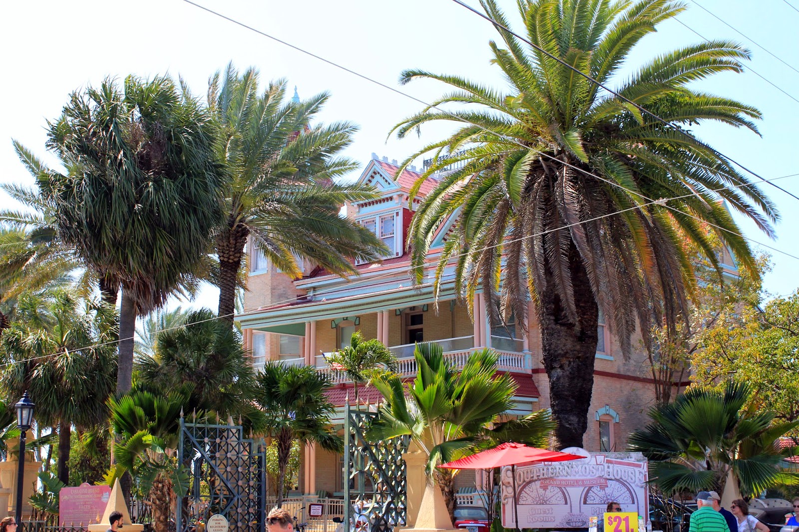
Some of the beautiful architecture


One of the best ways
to learn 400 hundred or so years of legends and lore is to jump on board the
famous Conch Tour Train. The small city that sits on this two-by-four-mile island has long
been an artistic haven, a wild refuge for people of all persuasions, and the
inspirational home for a league of great American writers such as Hemingway and
Frost to a couple. Some of the artists went there to be literary he-men. Some went to
re-create themselves. Others just went to disappear—and succeeded. No matter
what inspired the trip, Key West in the seventies was the right place at the
right time, where and when an astonishing collection of artists wove a web of
creative inspiration. Needless to say we learned a great deal about the many
writers, painters, pirates and explorers that coloured the past, not to forget
the many, potheads, and guitar pickers (Jimmy Buffett) of the not so distant
past in America’s southernmost city. It was spring break here and pretty much one big party central!
Of course, our token
photo of the local constabulary xo
Oh that darn leprechaun
is always getting into mischief!
Taking in the famous
sunset celebration….as Rick said; we’ve seen many a sunset on our travels so we
didn’t stay until it was gone because it was literally a zoo there.
I will leave you with
our the last two photos we took before we left our home in the Keys…the first
one is the last sunrise Sandra took while walking Toby up on the pedestrian bridge
you saw earlier in the post.
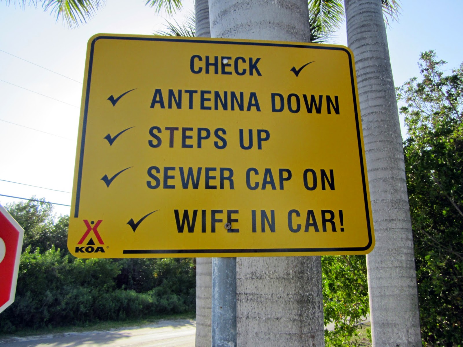
A little KOA
humour...on the way out of the park
All and all we had a
wonderful, extremely hot & humid adventure in the Keys. Totally worth the long
drive from Sarasota. A must visit place for anyone who has never been there
before, and one that we can now happily check off our Chillax’n bucket list.
It’s like being in
the Caribbean, with its sub-tropical climate, party atmosphere and beautiful
blue sea…minus leaving the continent part that is.
We are heading north now
with destination-reliving our youth….where else other than that magical place,
you know Walt’s place.
Thanks for stopping
by, we’ll see you when were finished having fun.
Rick, Sandra, Toby
and Wee Shaemus xo


